Spotlight · Week of 26 October
Whitby at Halloween: Goth Weekend and the Illuminated Abbey
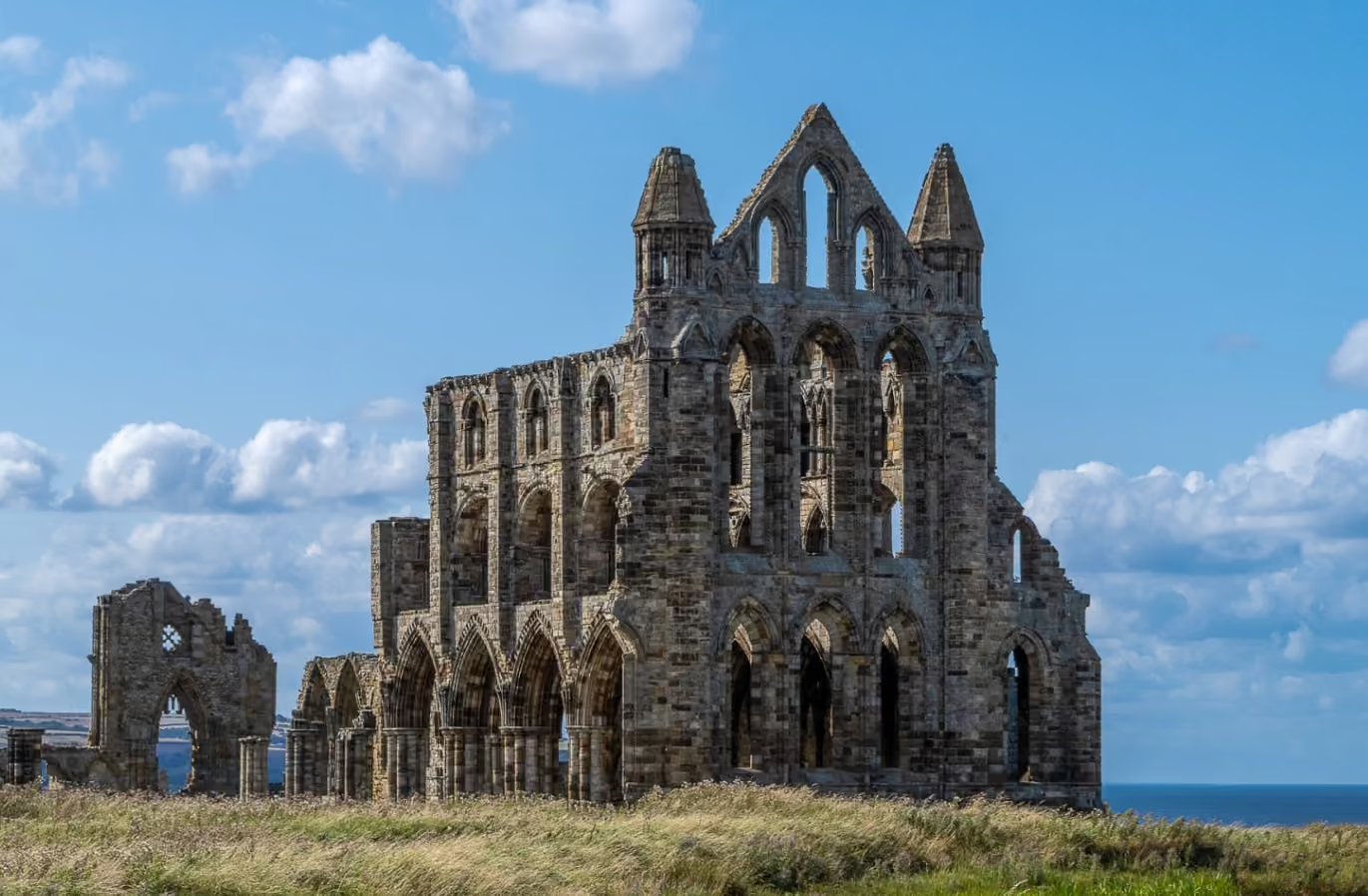
Goth Weekend, the free Bizarre Bazaar and the abbey lit up after dark.
North Yorkshire, England
By Jon Cosson · Updated 28 October 2026 · Checked 20 October 2026
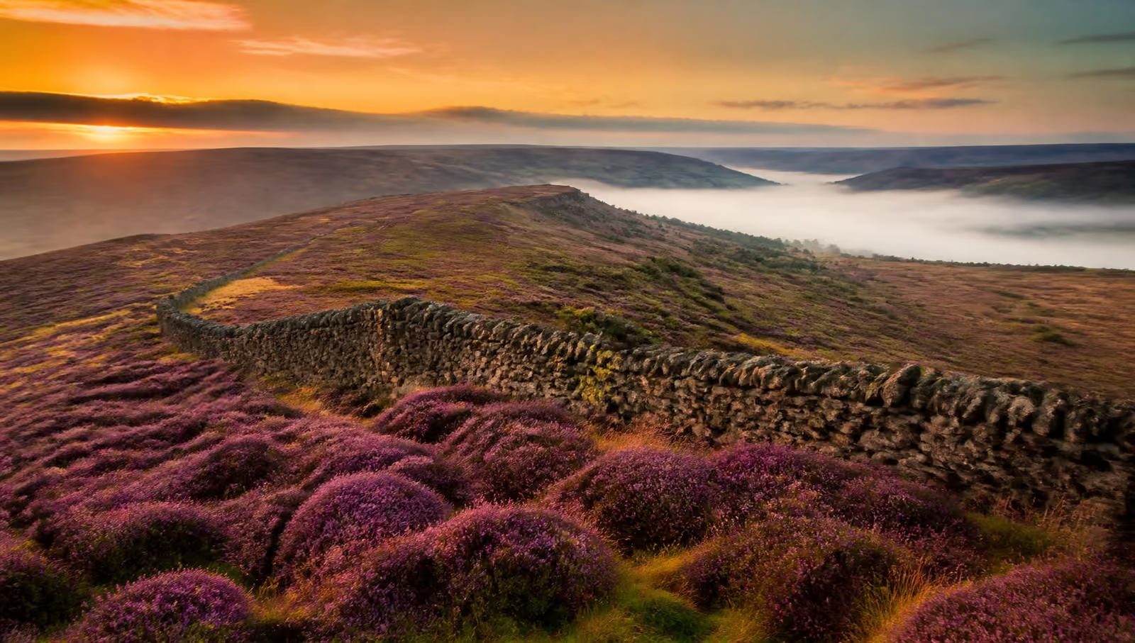
Purple heather moorland, ancient forest, steam railways and a rugged coast. Your guide to exploring every corner of the North York Moors.
The North York Moors National Park covers 554 square miles of heather moorland, dales, forest and coast in North Yorkshire, between Thirsk, Scarborough, Whitby and Guisborough. It had 9.8 million visits in 2025, most of them day trips. This guide is written by one person who lives locally in the North York Moors. Each page is checked against official and operator sources, and many pages show the date they were last checked. It is not connected to the National Park Authority or any tourist board.
Pick what matters to you, from dogs and food to off-road parking and step-free access, and build a day out.
Start here, then explore by place.
What to see and do across the Moors and coast
Towns, villages and sights on one map
Where to base yourself and what each place is like
Routes across the moors, dales and coast
Steam trains between Pickering, Goathland and Whitby
The abbey, harbour and old town
The fishing village on the coast
The market town, castle and walled garden
The market town and railway terminus
The moorland village and its station
Spotlight · Week of 26 October
Goth Weekend, the free Bizarre Bazaar and the abbey lit up after dark.
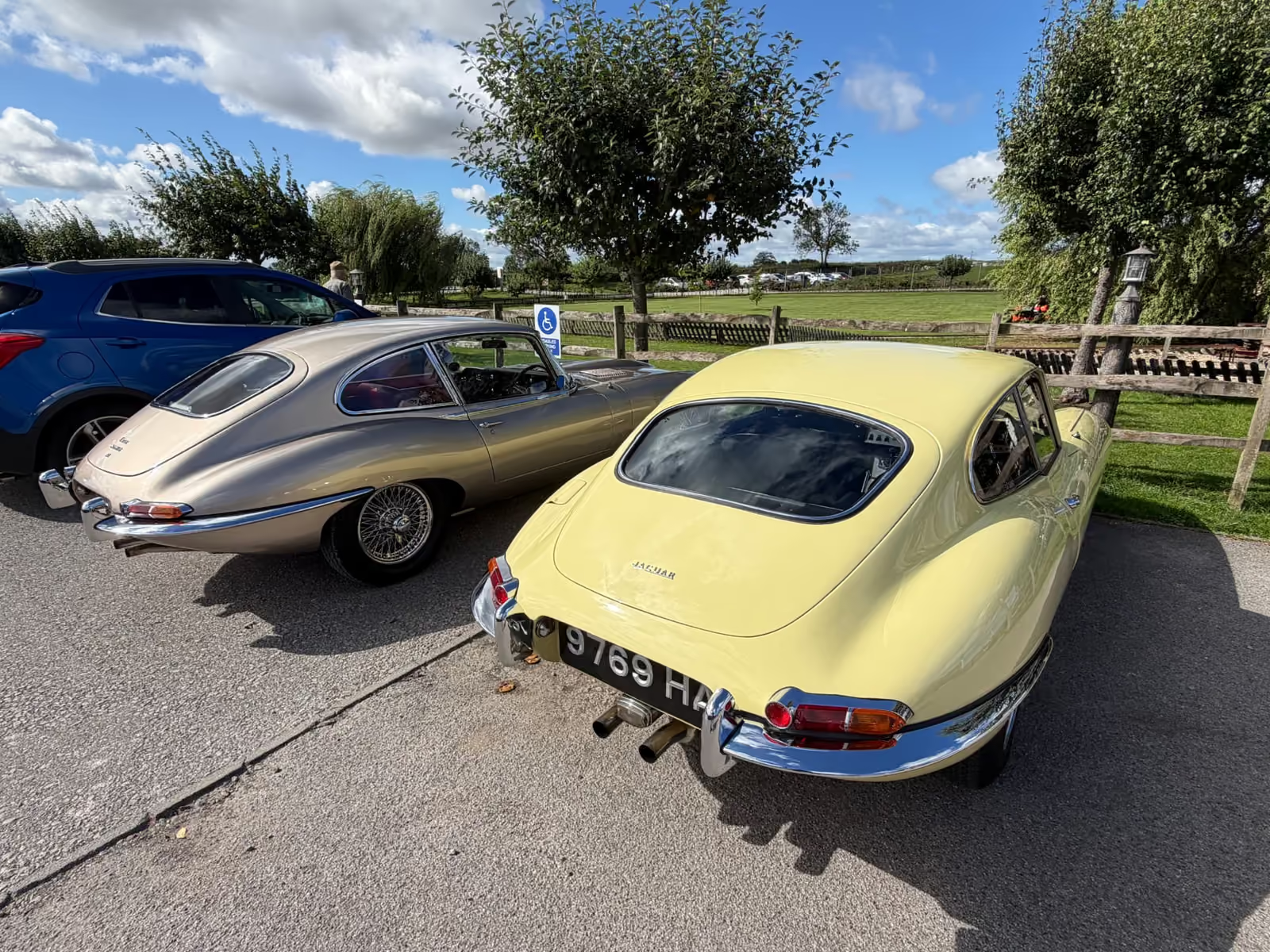
The village and classic-car sister sites linked here are also written by the author of this guide.
Visiting for the festive season? Our guide to the North York Moors at Christmas covers the Santa Express, the Whitby festival and Castle Howard, and when to book each one.
Both names describe the same place. The place is widely known and referred to by both names. Yorkshire Moors is in common use, while the national park authority's name is North York Moors. It runs from Helmsley in the west to the cliffs at Whitby and Robin Hood's Bay in the east, with the Hambleton and Cleveland Hills to the north and the Tabular Hills easing down towards Pickering and Thornton-le-Dale in the south.
It holds one of the largest continuous stretches of heather moorland in England. It is spectacular in late August, when the whole plateau turns purple. There are also deep wooded dales, Dalby Forest and ruined abbeys, all of it inside an International Dark Sky Reserve, with a heritage railway that still runs steam through the middle of it all.
This guide is organised the way a visit actually works: pick the things you want to do, find a walk to suit the day, choose a village to base yourself in, then plan the practical bits.
New to the area? Start with where the Yorkshire Moors are, a map and how to get here for location, driving times, trains and buses in one place.
Self-catering cottages, village inns and farmhouse boltholes right across the moors, from the southern villages to the coast.
Browse places to stayIf you only remember five things about the North York Moors, make it these.
Whitby, Rievaulx, Goathland, Sutton Bank and more. The best of the moors in one list.
Steam from Pickering to Whitby via Goathland, one of the busiest heritage lines in the world.
Mountain bike trails, play areas, forest drive and the Go Ape treetop course.
One of the darkest skies in England. The Milky Way is visible with the naked eye.
Whitby, Robin Hood's Bay, Staithes and fossil-hunting beneath the cliffs.
Bangers & Cash: Mathewsons' museum, the auction dates and every episode, on our Thornton-le-Dale site.
A vast natural amphitheatre scooped out of the moor, with a superb circular walk.
In season
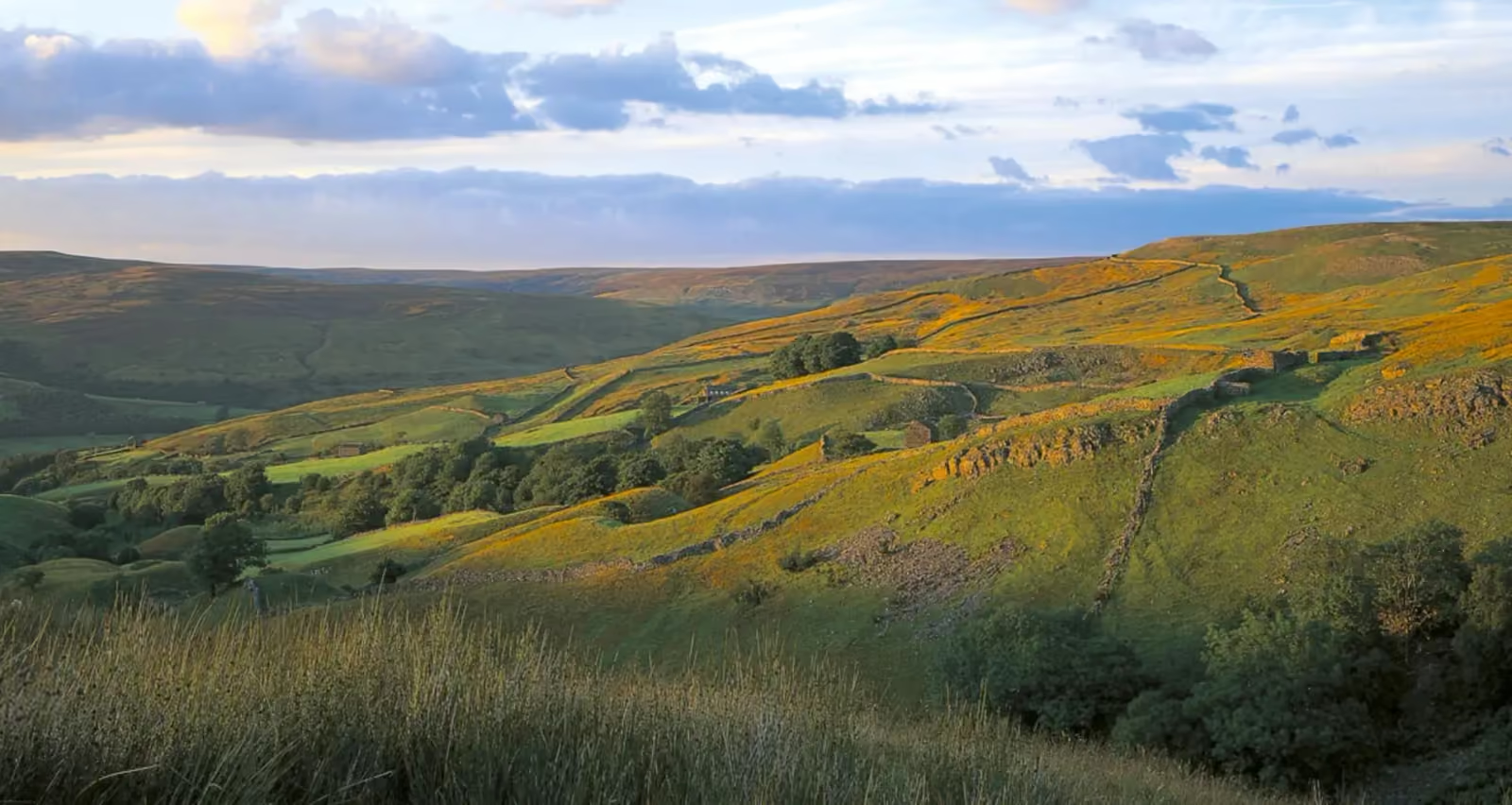
Bracken turning gold and copper, woodland colour into November, the deer rut and fungi, and the return of some of England's darkest skies.
Read the autumn guide When the heather is in bloom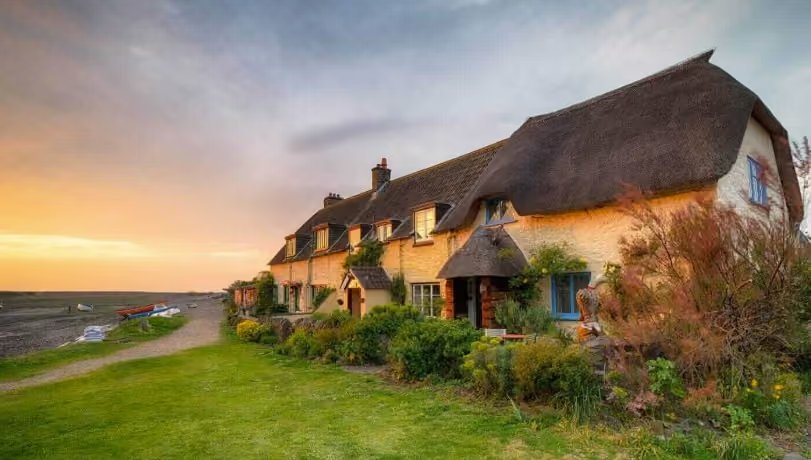
Thornton-le-Dale, Pickering, Helmsley, Goathland, Levisham and Allerston, where to base yourself and what each one is good for.
Explore the villages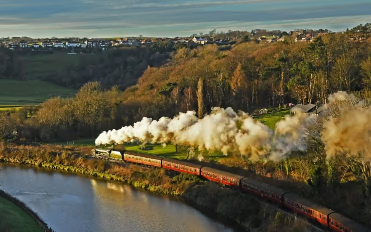
Steam trains, forest trails, the coast, cycling, stargazing and rainy-day options that don't feel like a compromise.
Things to do in the North York Moors
Self-catering cottages, village inns and farmhouse rooms across the park, from the southern villages to the coast.
Find a place to stayNew writing from the guide, touring-journal trips out in the classic cars and news from across the North York Moors.
North York Moors National Park Authority facts and figures; Campaign for National Parks; National Parks UK; North York Moors Dark Sky Reserve. Checked 20 October 2026.
Visitor figure: North York Moors National Park Authority, STEAM 2025.