Plan your visit
North York Moors Weather
By Jon Cosson · Updated 19 October 2026
A live five-day forecast for the places visitors actually stand in, the harbour at Whitby, the market square at Pickering, the Esk Valley at Danby and the top of Blakey Ridge, where the weather is always a different story.
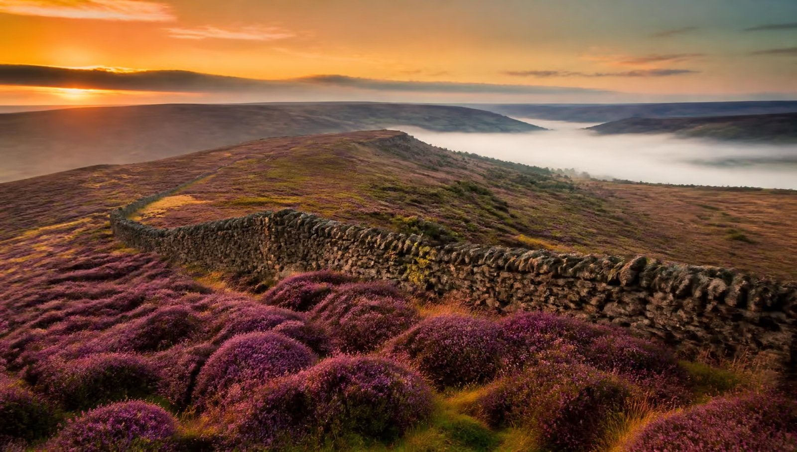
This North York Moors National Park weather guide is useful for planning visits to Pickering, Helmsley, Kirkbymoorside, Whitby and Danby.
Whitby
Coast, abbey, harbour and the cliff top
11°C
Overcast
Feels like 8°C
Wind 9 mph, gusting 18 mph
No severe conditions flagged for Whitby in the next 24 hours. Official warnings are issued by the Met Office, check them before a big day out.
Watches and warnings shown here are derived from the forecast numbers (gusts, rainfall totals, snow, ice, storms and fog). They are not official Met Office warnings.
Today
Drizzle
12° / 9°
- Rain
- 1.2 mm · 71% chance
- Wind
- 12 mph max
- Sunrise
- 07:36
- Sunset
- 17:57
Mon 19 Oct
Light drizzle
14° / 12°
- Rain
- 0.4 mm · 79% chance
- Wind
- 15 mph max
- Sunrise
- 07:38
- Sunset
- 17:55
Tue 20 Oct
Rain
13° / 11°
- Rain
- 6.7 mm · 59% chance
- Wind
- 14 mph max
- Sunrise
- 07:40
- Sunset
- 17:52
Wed 21 Oct
Rain
13° / 8°
- Rain
- 21.9 mm · 74% chance
- Wind
- 18 mph max
- Sunrise
- 07:42
- Sunset
- 17:50
Thu 22 Oct
Light drizzle
11° / 5°
- Rain
- 0.2 mm · 31% chance
- Wind
- 14 mph max
- Sunrise
- 07:44
- Sunset
- 17:48
Forecast data from Open-Meteo, updated 18 Oct, 21:03. Always check the Met Office mountain and moorland forecast before a big walk.
For a view of conditions before travelling, see the coastal, railway and road webcam links.
Check the moorland fire safety guide for official prevention advice and live-update sources.
Why the forecast changes so much across the moors
The North York Moors is a raised plateau with a coast on one side and lowland vale on the other, and that geography does most of the work. Whitby and Scarborough get the sea breeze and the sea fret, that cold, damp haar which can sit on the cliffs while inland villages bake. Pickering and Helmsley, tucked under the southern edge, are consistently the warmest and most sheltered. Blakey Ridge rises above 1,300 feet. The A169 crosses Fylingdales Moor, whose high ground reaches about 950 feet; both are exposed to the wind.
If a day looks marginal, use the difference. Rain on the tops often means a perfectly good forest ride at Dalby or a sheltered valley walk; a sea fret on the coast usually means clear sunshine ten miles inland.
Before a big walk
Check the wind and the visibility, not just the temperature. Exposed moorland walks like the Hole of Horcum circuit and the Cleveland Way cliff sections are genuinely different propositions in a 40 mph wind. Carry waterproofs and a map, tell someone your route, and read our moorland safety guide first.
Driving the moor roads
Winter closes the high crossings quickly. Snow drifts across Blakey Ridge and the Rosedale banks well before the lower roads are affected, and fords in the dales run deep after heavy rain. If you are touring in something old, plan a low-level alternative and don't commit to the tops in poor visibility, see our classic car driving routes for sheltered options.
Weather by location
Eight places, eight different stories. Each section below explains what the numbers in the panel above actually mean on the ground, what the wind does to that spot, where the cloud sits, and what to do instead when the forecast turns.
Whitby weather: harbour, cliff top and the sea fret
Whitby sits at the mouth of the Esk with the abbey headland on one side and the West Cliff on the other, so the wind matters more than the temperature. A north-easterly funnels straight up the harbour and makes the pier walk genuinely cold even in July, while the 199 steps and the abbey field are fully exposed on a breezy day.
The local speciality is the sea fret, cold, damp haar that rolls in off the North Sea and sits over the town while Pickering, twenty miles inland, is in full sun. If the hourly view shows fog codes along the coast and clear conditions inland, drive inland for the afternoon and come back for the harbour in the evening.
- What is the weather like in Whitby?
- Milder than the high moors year-round but windier and often several degrees cooler than inland Pickering in summer, thanks to the sea breeze. Sea fret can cut visibility on the cliffs at short notice, most often between late spring and midsummer.
- Does it rain a lot in Whitby?
- Whitby is drier than the moorland tops, the high plateau catches most of the rain, but showers blow through quickly off the sea. Use the hourly precipitation probability above to time the harbour walk between them.
Scarborough weather: two bays and the castle headland
Scarborough's two bays face different ways, which is why the forecast alone never tells the whole story. When the wind is northerly, South Bay and the harbour are sheltered by the castle headland; when it swings south-easterly, North Bay and the Sea Life end of the beach are the calmer choice.
The clifftop paths of the Cleveland Way north towards Ravenscar are exposed and unfenced in places, so check the gust figures in the hourly table before committing to a cliff walk with children or a dog.
- Which Scarborough bay is more sheltered?
- It depends on the wind direction. South Bay and the harbour sit in the lee of the castle headland in a northerly; North Bay is the better bet when the wind is coming from the south or south-east.
- Is Scarborough warmer than the North York Moors?
- In winter, usually yes. The sea keeps the coast a few degrees milder than Blakey Ridge and the high moor. In high summer the reverse can be true on a sea-breeze day, when the beach stays cool and inland villages bake.
Pickering weather: the sheltered southern gateway
Pickering sits below the southern edge of the moors, and it is consistently the mildest and driest of our eight locations. That makes it the fallback plan: if the tops are in cloud, the market town, the castle and a run on the North Yorkshire Moors Railway still work.
Bear in mind the railway climbs from Pickering up to Goathland and Grosmont, gaining serious height on the way. The weather at the platform in Pickering is rarely the weather at Goathland, pack a layer even if it looks warm when you board.
- Is Pickering a good wet-weather base?
- Yes. It is one of the driest and most sheltered spots on the moors' southern edge, with the castle, the museum and the steam railway all within walking distance of the market place if the tops are washed out.
- How different is the weather on the NYMR line?
- Markedly. Goathland is roughly 500ft higher than Pickering and often several degrees colder, cloudier and windier on the same day, so dress for the top of the line rather than the bottom.
Helmsley weather: the western gateway and Cleveland Way start
Helmsley is tucked under the moors' south-western edge, sheltered by the Hambleton Hills, and it shares Pickering's relatively kind microclimate. The market square, the castle and Duncombe Park are all comfortable in weather that would be unpleasant on the tops.
It is also mile zero of the Cleveland Way. The first stage climbs steadily towards Sutton Bank and the escarpment, so check the wind figure before setting off. The edge is far more exposed than the town below it.
- What is the weather like in Helmsley?
- Sheltered and generally mild for the moors, thanks to the Hambleton Hills to the north and west. Expect noticeably colder, windier conditions within an hour of walking out towards Sutton Bank.
- When is the best time to walk the Cleveland Way from Helmsley?
- Late spring and early autumn give the best mix of settled weather, long daylight and firm ground. Winter walking is fine on the lower stages but the escarpment sections are exposed in strong winds.
Danby and Esk Valley weather: the heart of the moors
Danby sits in the Esk Valley with the moor rising steeply on both sides, and the valley floor holds frost and mist long after the surrounding tops have cleared. Bright, still winter mornings here often start grey and end glorious.
The Moors National Park Centre at Danby Lodge is the sensible base when the weather is unsettled, indoor exhibitions, a café and easy riverside walking with quick shelter if a shower arrives.
- Why is the Esk Valley frostier than the moor top?
- Cold air sinks. On clear, still nights the valley floor at Danby traps colder air than the ridges above it, producing frost hollows and low mist that can linger well into the morning.
- Is Danby a good rainy-day option?
- Yes. The Moors National Park Centre gives you indoor exhibitions and a café, and the short riverside and woodland paths nearby are manageable in poor weather.
Blakey Ridge weather: the high moor at 1,325ft
Blakey Ridge is the highest point in this feed and the one that behaves least like the rest. Reckon on it being several degrees colder than Pickering, with wind speeds that can be double what the valleys record and cloud sitting on the road when everywhere else is clear.
It is also the first road to close in snow. The ridge road between Hutton-le-Hole and Castleton drifts quickly, and the Rosedale chimney bank is regularly shut in winter. If the alerts above flag snow or ice, plan a low-level alternative before you set off rather than turning round on the tops.
- How much colder is Blakey Ridge than the valleys?
- Typically several degrees colder, and it feels colder still because of the wind. At over 1,300ft there is nothing to break it. Cloud base often sits on the road when the dales below are in clear air.
- When does the Blakey Ridge road close?
- It is among the first moor roads to drift and close in snow, along with the Rosedale banks and the A169 over Fylingdales. Check live travel information in winter and never assume the ridge is passable because the valley roads are clear.
Dalby Forest weather: shelter, trails and dark skies
Dalby is the wet-weather answer for families and cyclists. The tree cover takes the edge off wind and light rain, the forest drive keeps you dry between stops, and the graded bike trails drain better than open moorland paths.
For stargazing, temperature matters less than cloud. Use the hourly view to find a genuinely clear window after dark, then dress for a still, cold night. Standing at a viewing point is far colder than walking.
- Is Dalby Forest good in the rain?
- It is one of the best options on the moors in poor weather. The trees provide real shelter, the forest drive lets you tour between short walks, and the surfaced trails cope with wet ground far better than open moor paths.
- How do I pick a clear night for stargazing at Dalby?
- Check the hourly forecast for cloud-free hours after dark rather than relying on the daily summary, and give your eyes twenty minutes to adjust once you arrive. Wrap up, you will be standing still in cold air.
Hole of Horcum weather: an exposed A169 car park
The Saltergate car park sits right on the A169 at the lip of the hollow, with no shelter whatsoever. Wind here is often the deciding factor: the circular walk drops into the bowl and climbs back out along the rim, and the rim section is unpleasant above about 30 mph.
Low cloud is common on this stretch of the A169, and it can be thick at Saltergate while Pickering, ten minutes south, is bright. If the hourly table shows fog codes, save the viewpoint for another day. The view is the whole point.
- Is the Hole of Horcum walk exposed?
- Very. The car park and the rim section of the circular route have no shelter at all, so strong winds and driving rain are felt in full. The floor of the hollow is more sheltered but muddier after rain.
- Why is it often foggy at the Hole of Horcum?
- The A169 climbs onto high moorland here, so low cloud frequently sits across the road and the viewpoint while lower ground either side is clear. It can lift within the hour, check the hourly forecast before writing off the day.
Frequently asked questions
- What is the weather like in the North York Moors?
- It changes fast and it changes with height. The coast at Whitby and Scarborough is milder but windier; the high moor at Blakey Ridge, over 1,300ft, is several degrees colder, wetter and far more exposed. A calm morning in Pickering can be low cloud and horizontal drizzle on the tops an hour later.
- Do the moor roads close in bad weather?
- Yes. The high crossings, Blakey Ridge, the Rosedale chimney bank and the A169 over Fylingdales are the first to drift with snow and the first to be closed in winter. Check live travel information before setting off and never drive into standing water on the moor roads.
- What should I pack for a walk on the moors?
- Waterproofs, warm layers, proper footwear and a paper map and compass. Phone signal is patchy across the moor, so don't rely on a mapping app alone. See our moorland safety guide before heading out.
- When is the best weather for visiting?
- Late spring and early autumn usually give the best mix of settled days and quiet paths. August is the warmest and the busiest; late August into early September is when the heather is in full purple bloom.
Where to stay in the North York Moors
Self-catering cottages, village inns and farmhouse boltholes right across the moors, from the southern villages to the coast.
Browse places to stay