Wildlife spot
Scaling Dam Reservoir
By Jon Cosson · Updated 17 October 2026
A big sheet of open water on the northern moor edge, right beside the A171 between Whitby and Guisborough. The visitor route and bird hide are separate from the closed nature reserve.
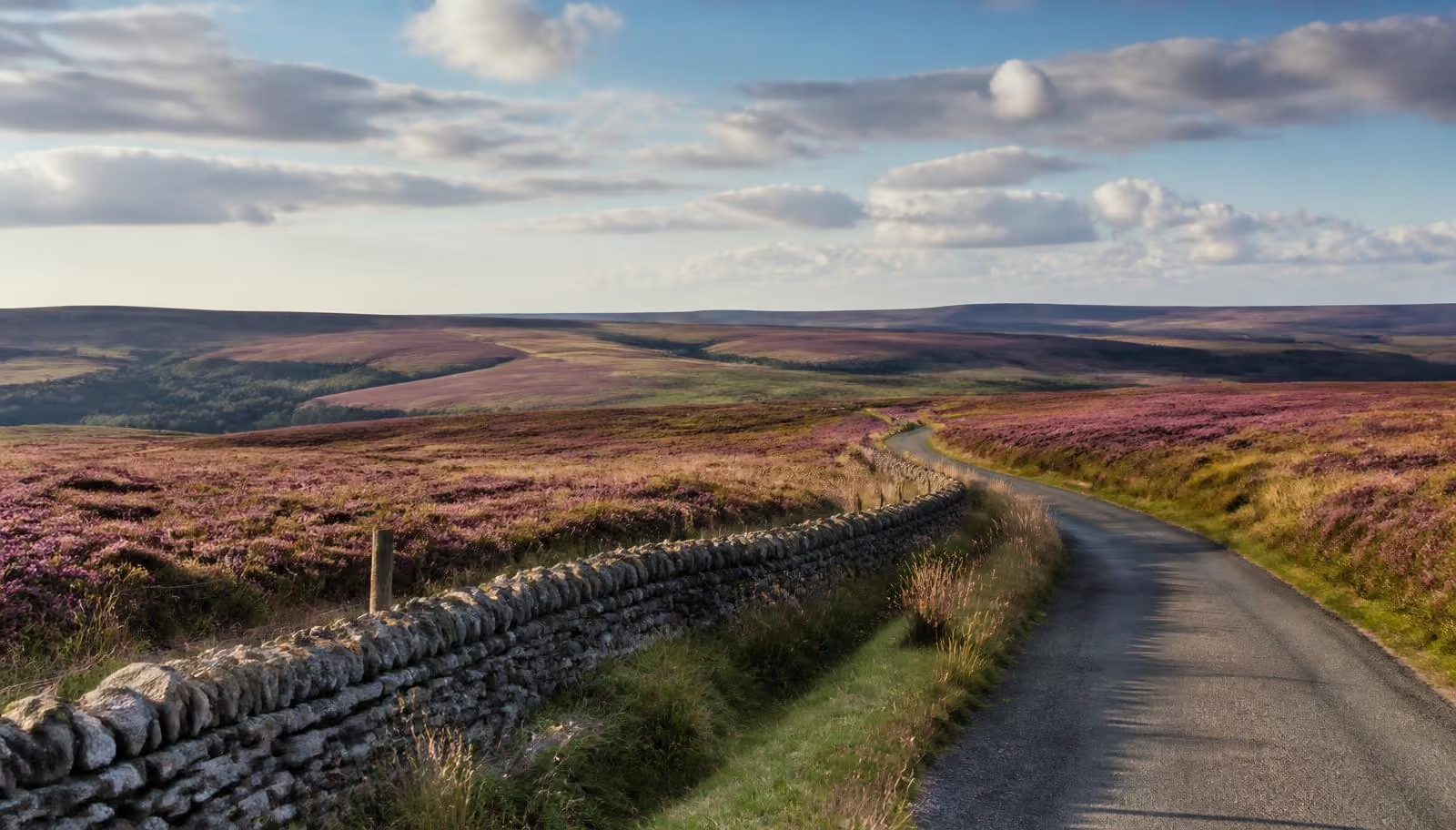
Reservoir and wildlife
Scaling Dam is managed by Northumbrian Water through Waterside Parks. Its visitor site is open year-round. The reservoir attracts wildfowl in autumn and winter; passage birds use it in spring and autumn. The nature reserve is separate from the visitor route and has no public access.
Parking and paths
The visitor postcode is TS13 4TP. The reservoir walk starts by the sailing club car park, off the A171. A bird hide is nearby. The route includes grass, boardwalks, bridges and a stile, so it should not be described as wholly step-free.
Dogs and visiting etiquette
Waterside Parks welcomes dogs on leads. Keep to the visitor paths and outside the nature reserve, avoiding roosting birds. Unauthorised swimming and water sports are not permitted.
Sources checked October 2026: Waterside Parks Scaling Dam.
Map and how to get there
- Area
- A171 (northern moor edge)
- Coordinates
- 54.5030, -0.8840
- Parking
- Off-road parking available Check before you travel.
- Nearest fuel
- Whitby or Guisborough
- Access
- Partly step-free from the car park off the A171; the going to the hide is level but unsurfaced in places.
More to see nearby
Wildlife spot
Wykeham Forest Raptor Viewpoint
Wykeham Forest (Pickering to Scarborough)
Late winter for displaying goshawk; summer for honey buzzard.
Wildlife spot
Forge Valley National Nature Reserve
West Ayton (near Scarborough)
Not season-specific in our notes: woodland birds use the feeders year-round.
Wildlife spot
Fen Bog nature reserve
Newtondale, near Goathland
Late spring into summer, when dragonflies and butterflies are on the wing.
Wildlife spot
Ravenscar: seals & clifftop
Ravenscar (coast)
Seals year-round; grey seals pup in November and common seals in summer.
Wildlife spot
National Centre for Birds of Prey
Helmsley (western moors)
Nearby guide
Whitby
Half an hour east along the A171 for the harbour and the abbey.
Nearby guide
Classic car driving routes
Routes using the A171 moor road.
Nearby guide
Wildlife of the North York Moors
What to look for across the park, month by month.
Where to stay in the North York Moors
Self-catering cottages, village inns and farmhouse boltholes right across the moors, from the southern villages to the coast.
Browse places to stay