Walks
Whitby to Sandsend
The easiest good walk out of Whitby, and one of the best. About 6 miles there and back, west along the sands at low tide or the Cleveland Way on the cliff above them, tea at Sandsend, and back the other way. Flat, easy and lovely.
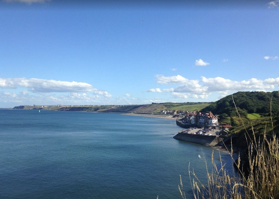
Sandsend, the turning point of the walk and the reason to bring money for tea.
The route in outline
Head west out of Whitby and you have two lines to choose from: the beach at low tide, or the Cleveland Way along the cliff. Both end at Sandsend, about three miles on, and the best version of the day is to take one out and the other back. That is the route at the level this site can honestly describe it: I have not yet walked it myself, so there are no turn-by-turn directions here. Carry the OS sheet.
The tide matters
The beach route works at low tide. Check the tide times before you set off and give yourself room at both ends, because a rising tide against the cliffs is not the place to be improvising. If the tide is wrong, the cliff path is there and the walk is just as good.
Walking it with a dog
This is one of the better dog walks on the coast. The beach is the easiest going underfoot, though there are seasonal restrictions near the town end, so check those. There is fresh water at Sandsend. More on dogs across the park in our dog-friendly guide.
Making a day of it
Six miles, flat, with tea in the middle, leaves most of the day free. Pair it with the harbour, the abbey and the rest of Whitby, or save your legs for the longer cliff walk south to Robin Hood's Bay another day.
Whitby to Sandsend walk FAQs
How far is the Whitby to Sandsend walk?
About 6 miles there and back. It is flat, easy and one of the loveliest short walks on this stretch of coast.
Can you walk along the beach from Whitby to Sandsend?
Yes, at low tide. The alternative is the Cleveland Way along the cliff top, and the neat trick is to go out one way and come back the other.
Is the Whitby to Sandsend walk good with a dog?
Excellent. The beach is the easiest going, though check the seasonal restrictions near the town end, and there is fresh water at Sandsend.
What is there at Sandsend?
Tea, and a good reason to sit down before you turn round.